-40%
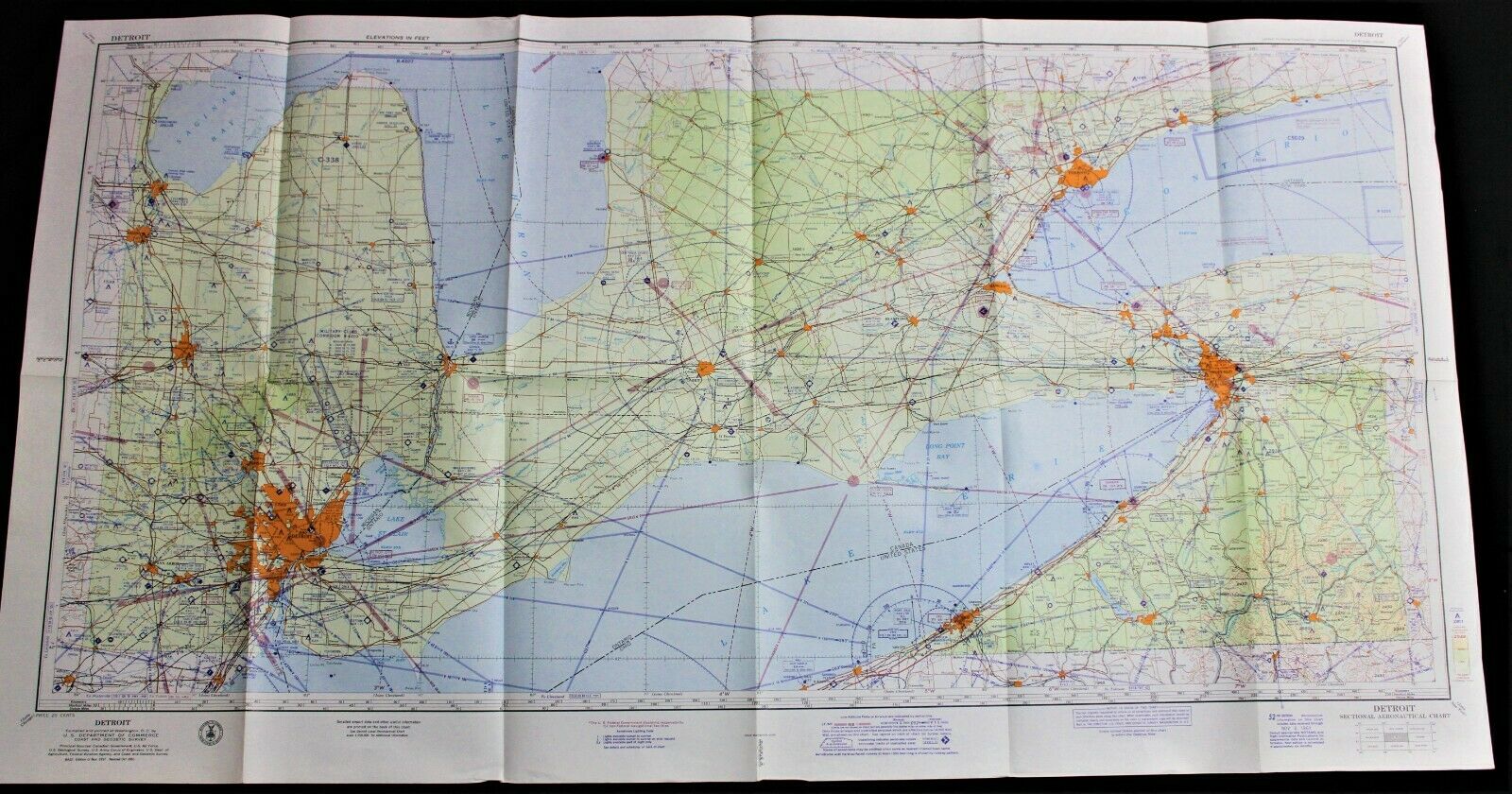
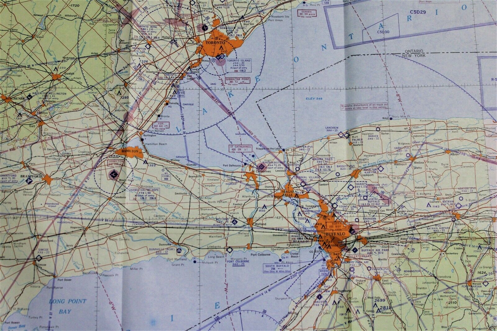
DETROIT MICHIGAN QUADRANT AVIATION FLIGHT AERONAUTICAL CHART MAP 1961 VINTAGE
$ 4.48
- Description
- Size Guide
Description
Vintage Detroit Michigan quadrant aeronautical chart map circa 6 November 1961. Published by the U.S. Coast And Geodetic Survey Department of Washington D.C. Measures 23 1/2 X 46 inches in size when fully opened (60 X 117cm). Map is an authentic original in very good condition as shown in photos.On Aug-28-21 at 06:46:46 PDT, seller added the following information:
Every buyer gets a MyStoreRewards invitation for cash back
